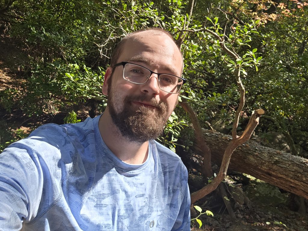
On December 13th, I had finally evolved in my greenhorn backpacking status: I convinced my friend who doesn’t really hike to come hit the trail with me. This was my pal Rylan’s commitment to a long-time agreement to come on a one-night backpacking trip with me if I did…something? I don’t quite remember the quid pro quo completely, just that he had to agree to do this at some point – and this was that point.
This trip was originally meant to be the Sam’s Knob and Little Sam loop in the same wonderful Pisgah Forest, but the Blue Ridge Parkway was closed on all ends to that trailhead so I settled for the Cat’s Gap to John Rock loop. When I originally reviewed this loop on AllTrails, I was judgemental in how it seemed like it would be a relatively basic loop in the woods with a small breakout view. Boy, I was wrong – never judge a trail by its map.
We arrived in Brevard and into Pisgah by around 12 in the afternoon. The weather was beautiful – clear skies, a nice high in the low 50’s and the night’s low was only around 30 degrees – definitely cold, but not extreme.
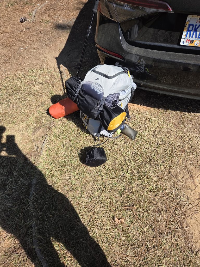
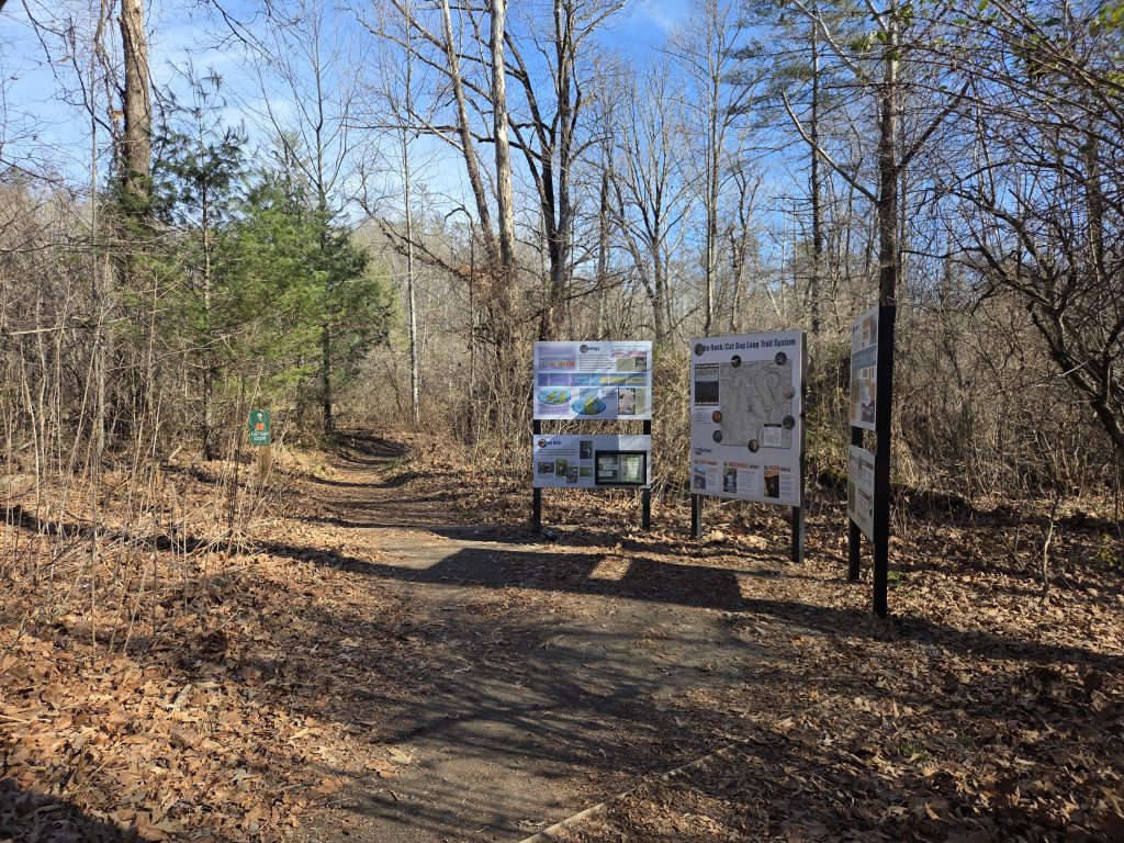
The trailhead starts from the parking lot of the Pisgah Center for Wildlife Education. It was predictably packed for a Saturday afternoon as there were only a handful of spots to park remaining. We got out, suited up and began.

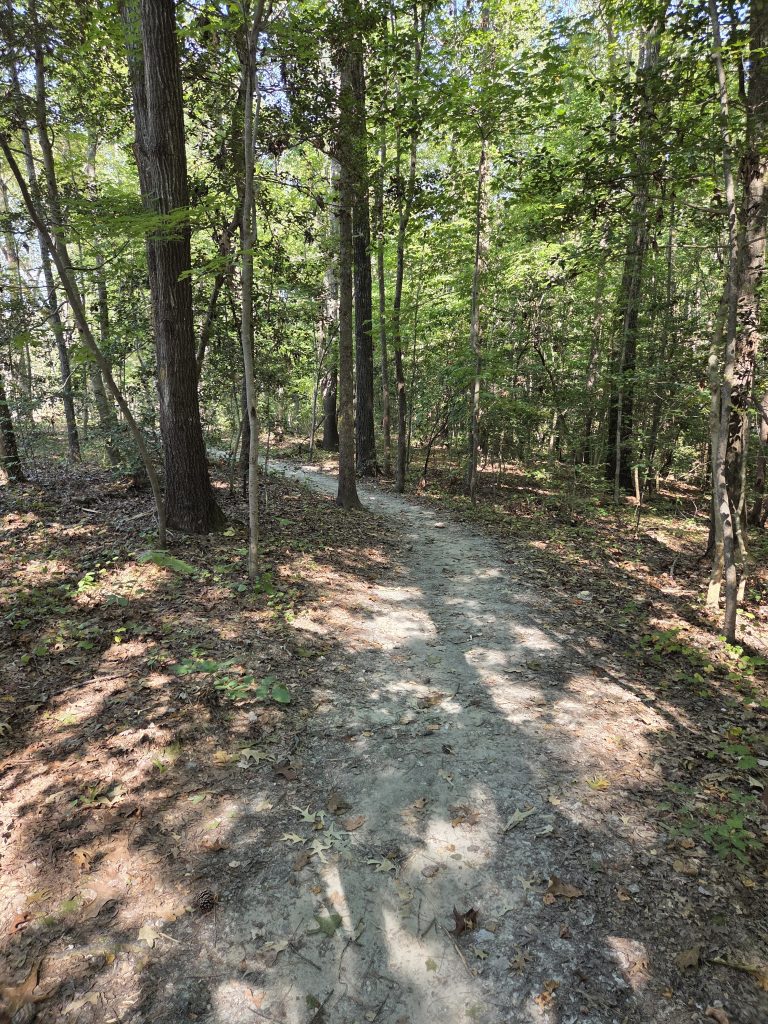
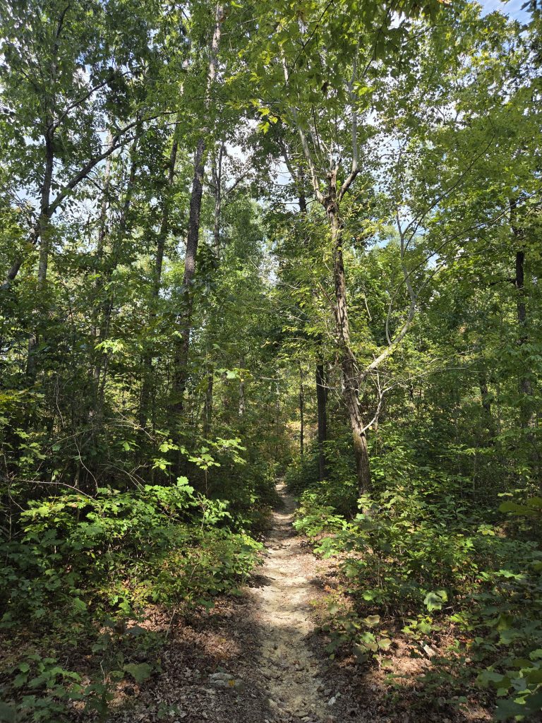
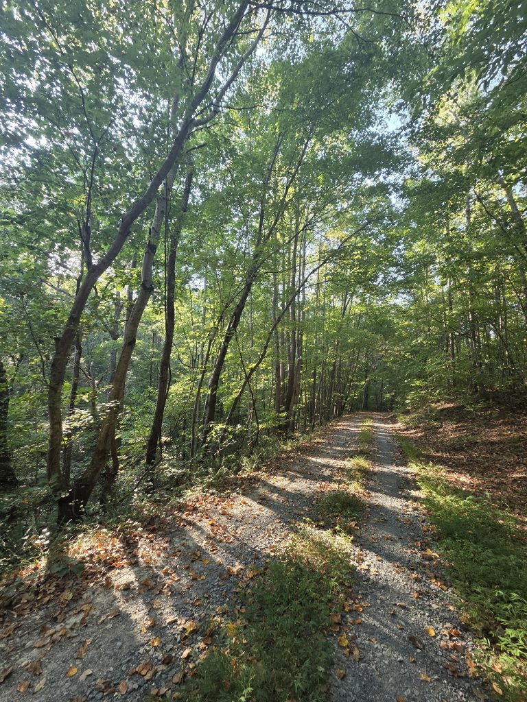
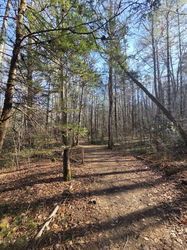
The beginning is relatively chill, with few inclines and starts along the Cedar Rock Creek, which appeared to be a popular fishing spot.
We were energized and optimistic early, as the weather was nice and the trail was easy to start. There was a decent amount of foot traffic and many “adventure dogs” with their owners out and about.

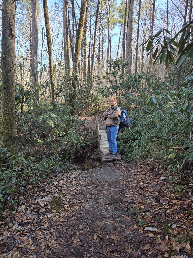
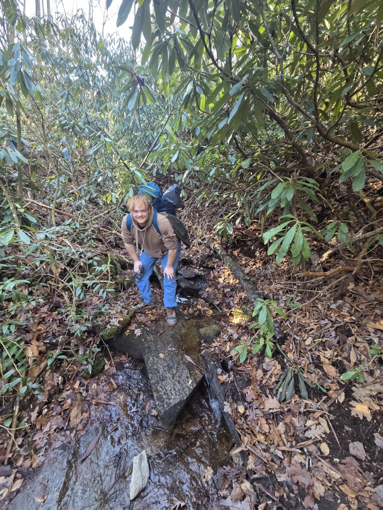
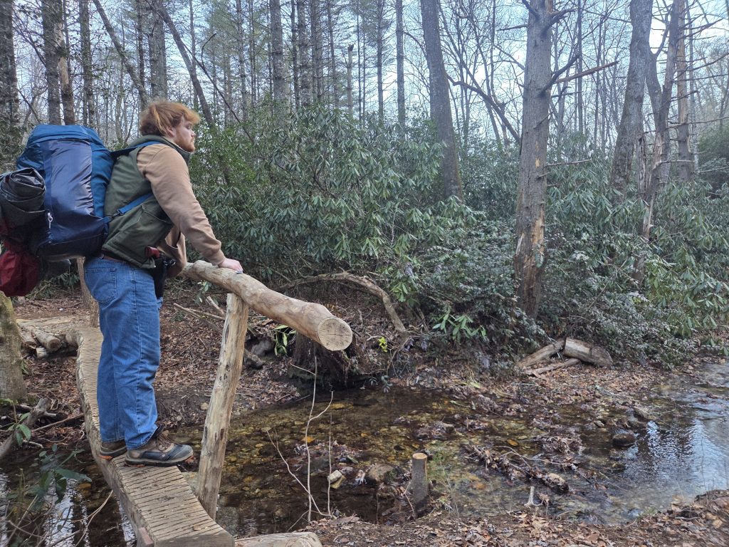
As usual, early into a hike is when the Instagram bug kicks in. So we snapped a shot of the first creek crossing. There are a couple of these along the trail but none of them (at this time) were particularly difficult and were shallow. Just be sure to have the appropriate footwear with you and bring extra socks if you do camp out.
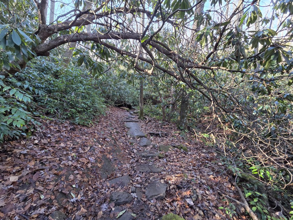
From here, the trail begins its ascent to the base of John Rock. Overall the trail’s elevation gain estimated to be over 1,100 feet and it definitely seems right. It is one of those loops where you spend the entire midway going up high, down a little bit, and then up high again.
We had stopped for a pee break when the coast was clear and then continued a little bit before I had realized we were supposed to go onto John Trail at an intersection – nothing wrong with a little extra calories burned however. Correcting our mistake, we turned onto John Trail where it intersected with Cat Gap and begin going onward and upward some more.
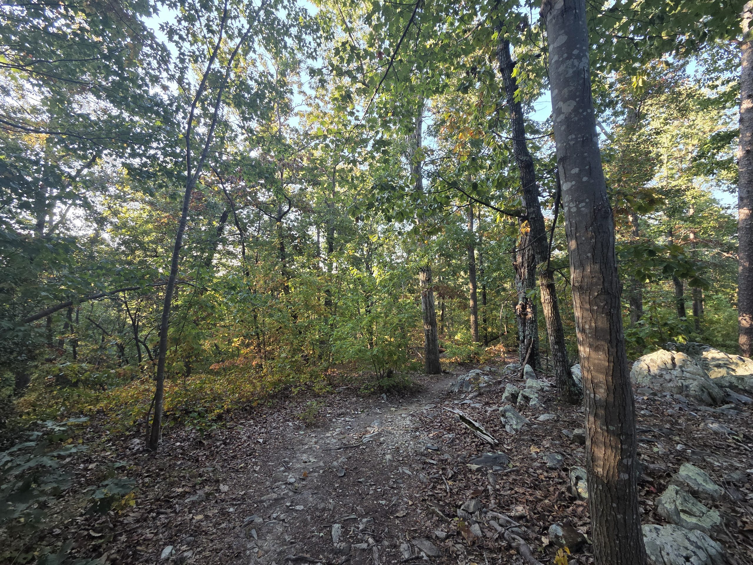
This leg on the ascent was amazing. It had recently rained some days prior and between the cold, the shade and the moisture, the smell of heaven was abundant – wet dirt, moss, and leaves. There is something about that particular smell that brings me an immense comfort no other smell can bring me and it was abundant on this loop.
We continued upward, enjoying the serenity of the woods and its damp smell. This was Rylan’s first time doing a hike with a pack, and so we had to make a good many stops on the way up, of which I do not give him any hell for. He packed some bulky gear and I could only guess his pack weight was around 40-some pounds total, which is killer when ascending like this. All of this to say we stopped taking photos of the trail for a while.
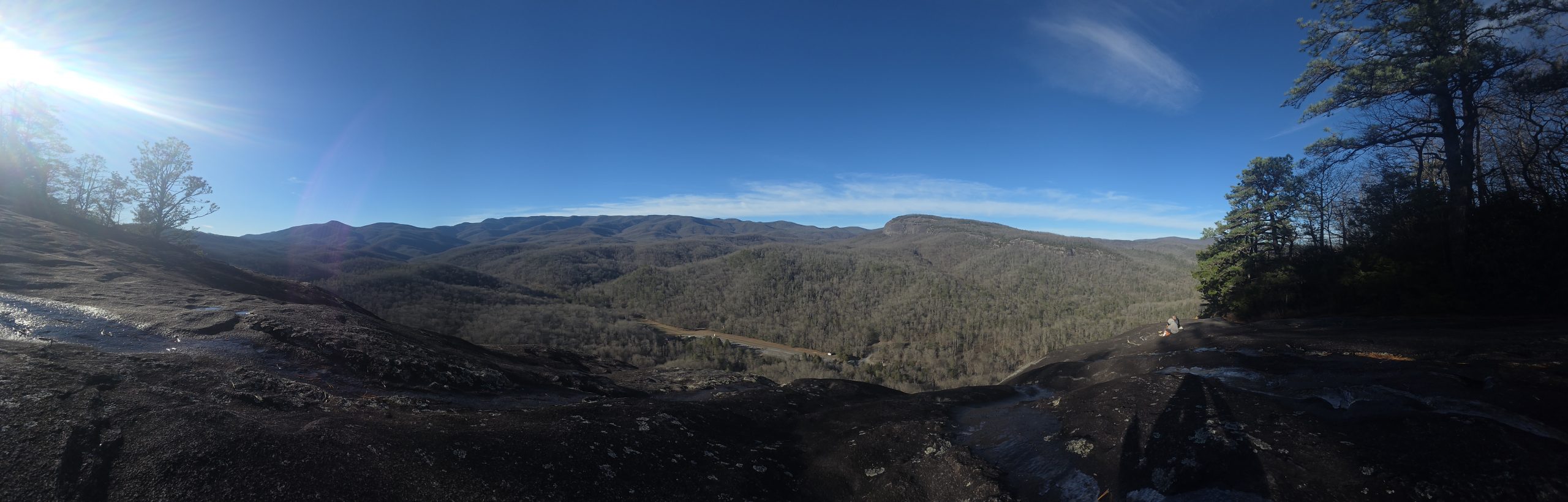
After what felt like thirty or forty minutes of hiking up the incline trail, I noticed a clearing among the rocks and saw a view I had only seen online before.
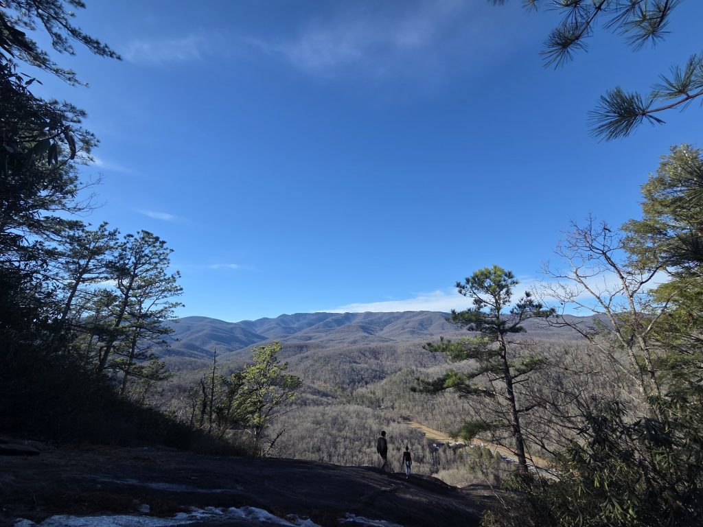
This was the famous viewing angle from John Rock. Absolutely gorgeous. The rippling Blue Ridge Mountains and the beautiful blue sky of Earth.
When I had approached, I didn’t immediately walk out as I was somewhat caught off-guard that this rocky perch opened in a sort of bumpy slope. A couple had approached from behind us and made their way down regardless of this (and one of them wearing SANDALS!!)
After a brief moment of hesitation, we mustered our courage and descended, only to be rewarded with an even more expansive view of the mountains.
This was definitely one of the highlights or our trip and I am sure for anyone taking the trek up here. I have never enjoyed a view like this up until this point.
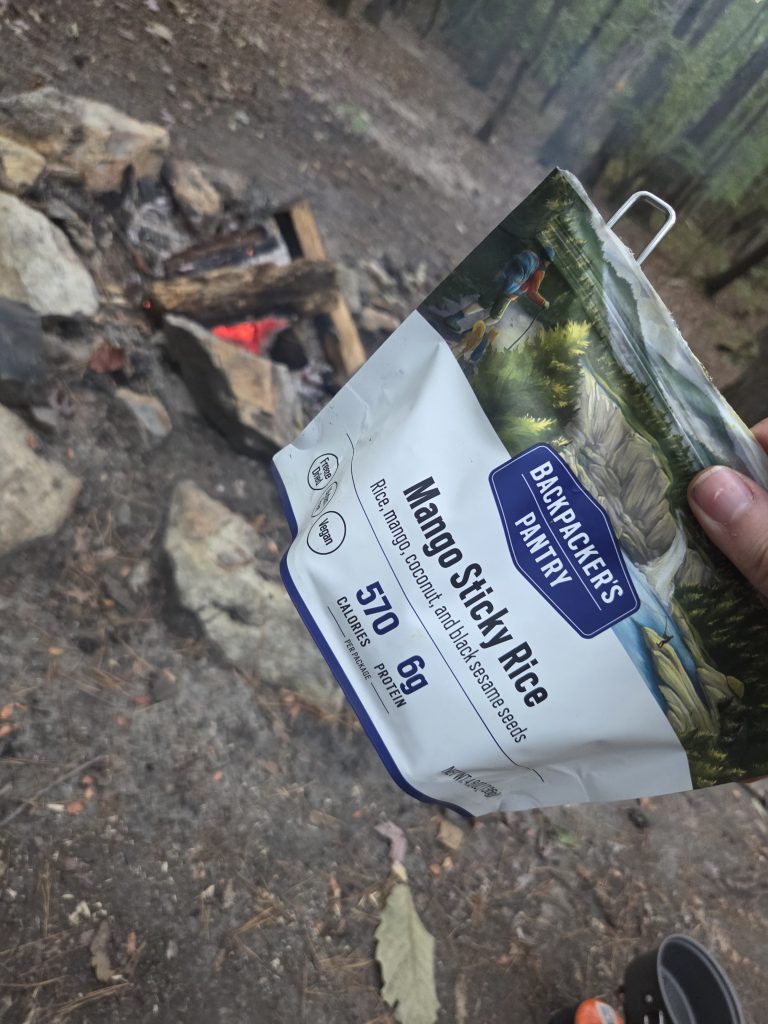
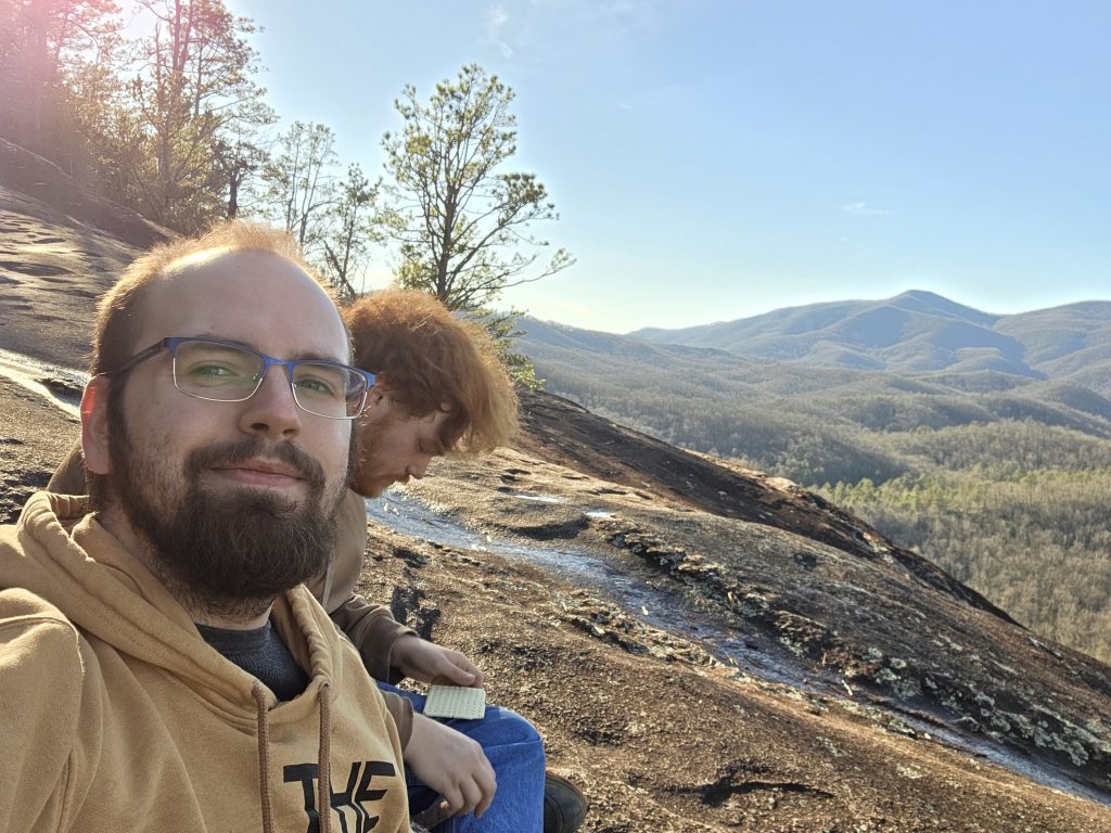
We cracked open some MREs Rylan was given and attempted to use them. The heaters weren’t really cooperating, so I ended up eating just the world’s hardest Pop-Tart and some crackers with apple jelly – still tasty and a much needed calorie boost.
At some point, another couple of people had shown up to take in the view, and we even seen a bird fighting the wind up here – it was really windy.

I snapped a panorama shot (of which I am a little proud of), we cleaned up and hit the trail again. A nice half-hour break, just enjoying snacks and the view of this beautiful world.
The series of ups and downs began here and was a little killer.
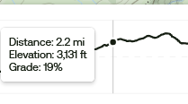
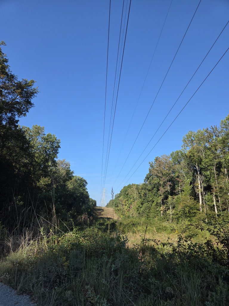
This specific stretch of the trail was a rough one, and possibly the worst aesthetically so far. Right after you are blessed with the outlook, you get a narrow, ever-ascending path with many roots and only dead trees as far as you can see. At this point, we had drank the water we came in with, so I was in my “water panic” mode. I knew we had running creeks coming up, but it was honestly hard to gauge when that may be, so I was trying to push myself a little harder to get pace.
We finally made a decent descent to a big road in which the trail intersects back with Cat Gap and then the Cat Gap Bypass. At this point I had realized we would have to take another incline – the biggest one of bumpy section yet – to follow the loop.
I made the executive decision for us to instead take the Cat Gap Bypass:
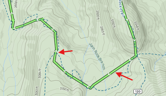
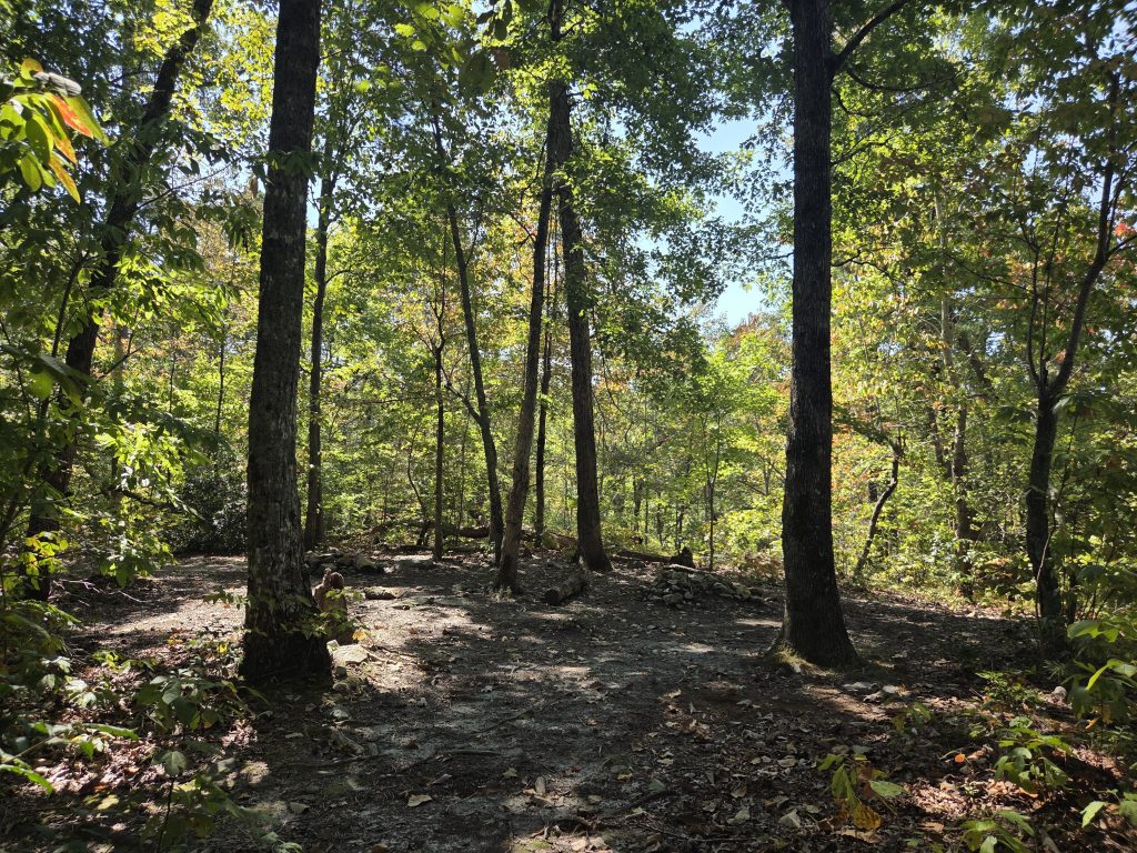
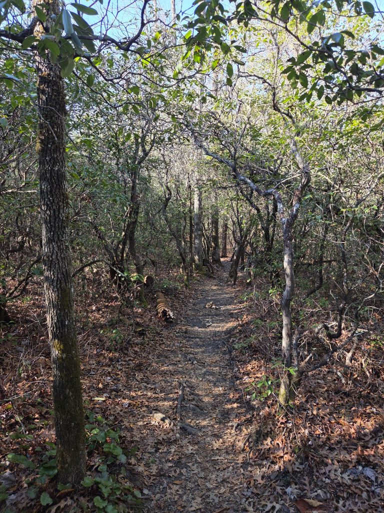
So instead of looping around and up another incline on the 120, this convenient path cuts it without much effort at all. We ended up glad we did this, because this path goes through relatively leveled woodland, while you are still able to see the mountains out in the distance. A great respite from inclines – just a nice walk in the woods.
It eventually intersects with the end of the Cat Gap Loop ascent and begins the relatively long descent down to Cedar Creek falls. Now, I understand descents are supposed to provide relief, but something about them messes me up more than ascending. I’m not sure if it’s the way I walk down-hill, but this was a killer stretch of descending that lasted about thirty or more minutes.
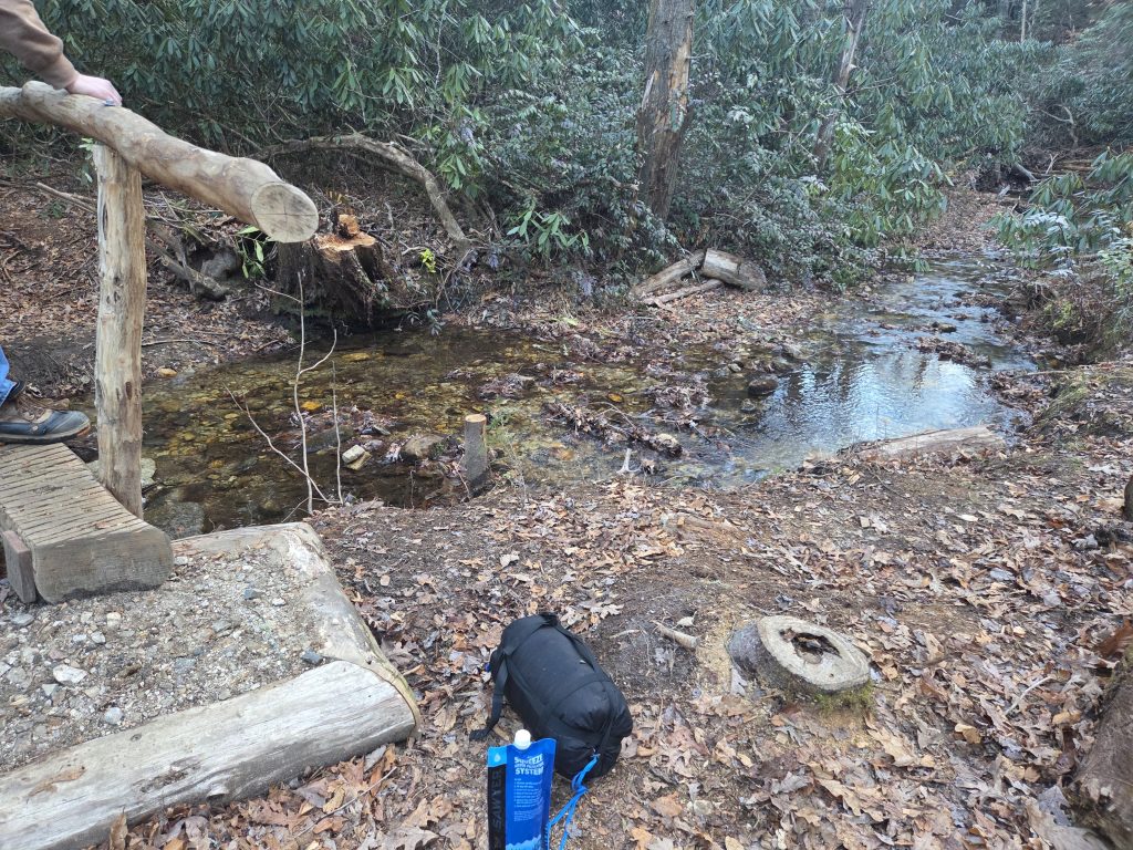
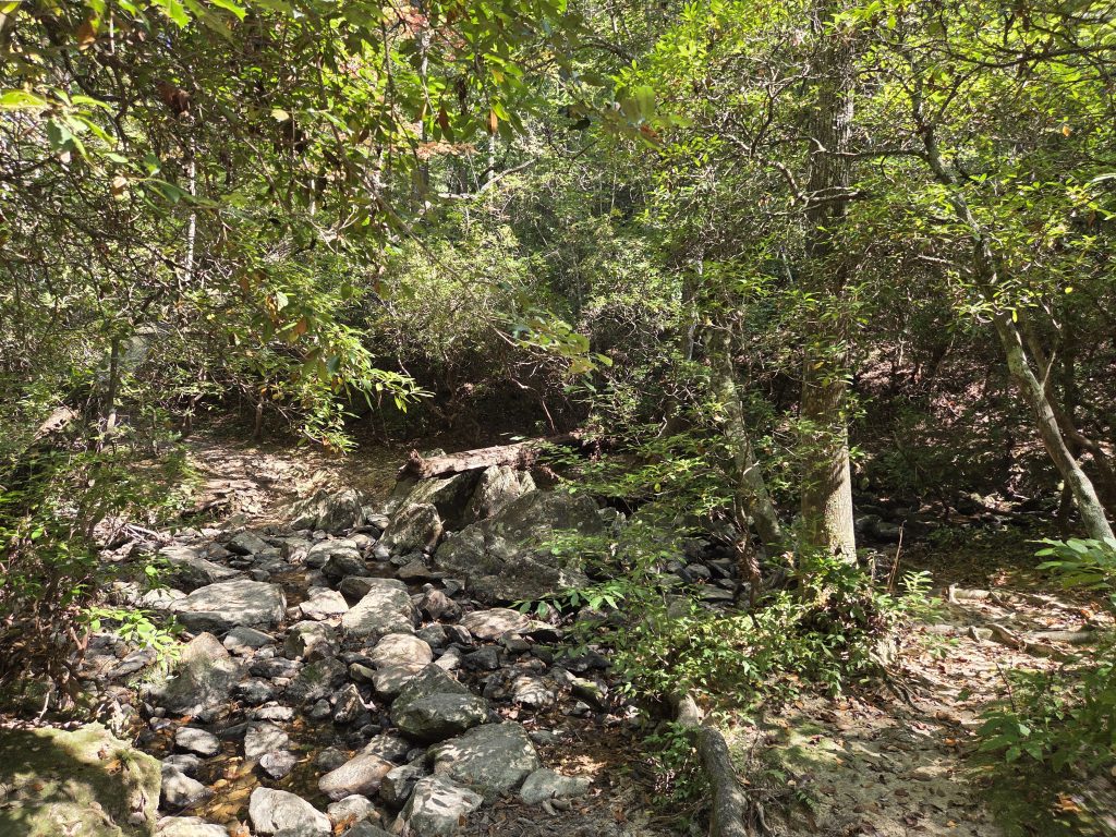
At the bottom of the descent, we had finally found the part of the creek with running water again. This was much needed, as I was a little light headed. This was also the first time I consistently went ahead and trusted my filtration system to drink freshwater (as well as Rylan, who I gave my Lifestraw bottle too).
I got about 64 ounces pumped – one of my bags I dropped an AquaTab in for further purification later – and honestly, after filtration this water was so crisp and cold and just all around good.
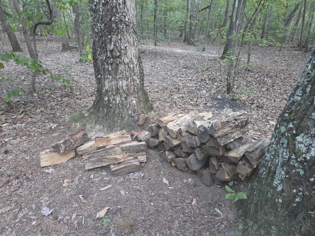
After our brief water break here, we continued on and it was smooth sailing. The trail here stays relatively flat and in the woods along the creek. At this point, we found there were many large, prepared campsites ideal for hosting many people. We even spotted a solo camper set up, fire going!
Our goals were a little further down though – near the famous waterfalls.
At some point, the trail maneuvers through these super interesting, thick collection of trees:
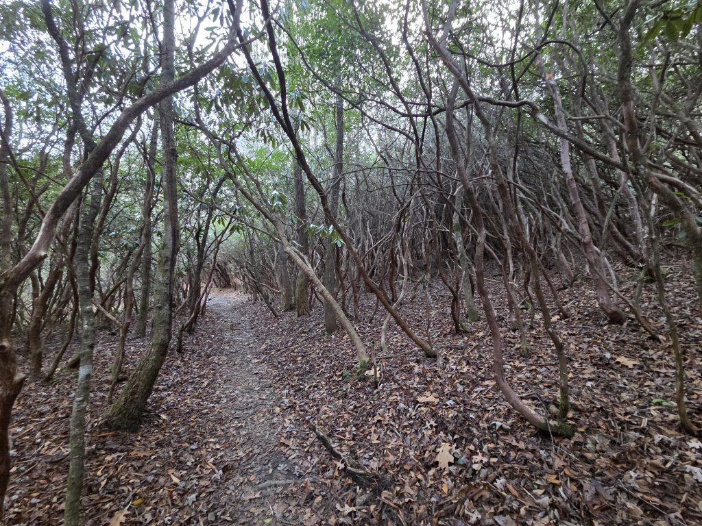
I am by no means studied on tree species, but some quick searching against the image suggests these may be thickets of Mountain Laurel. So, when it is this time of year, they make for a very spooky tunnel. I would be creeped out if I was hiking this bit at night – this is some Ichabod stuff. Very cool though.
After a little while longer, we heard the rushing of the creek again and knew we were near our destination.
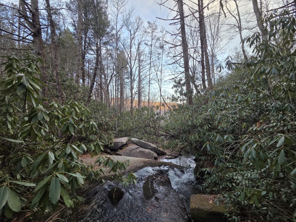
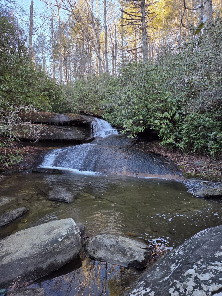
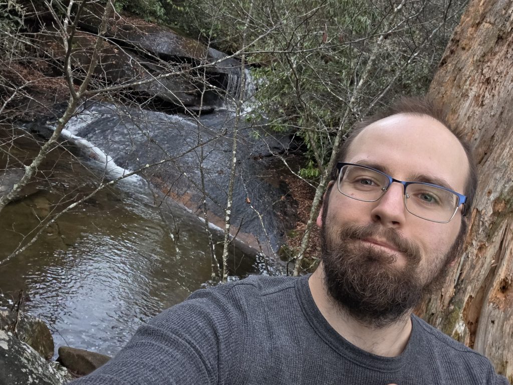
A little bit further, and we made it to the campsite that sits at the Upper Cedar Falls.
It had been a year and a half since I had my first backpacking experience at Glade Creek, and I was reminded on how I love camping by creeks. Not only is it a nice sound, but it acts as a sort of white-noise, obscuring those spooky sounds at night that may spur your paranoia.
This spot is the top-piece of the Cedar Rock falls, of which seemed to be a prominent viewpoint for this loop. We went a little further to try and check it out, but the trail to get down there was extremely tricky. There were many fallen trees, a lot of the path was covered in leaves and undergrowth. We pressed on until we got to a spot where the path draws past an overhang in the rock-wall, forming a cave.
Rylan was inspecting it with his headlamp out of concern of if a bear may be posted within. He said he saw what appeared to be a box wrapped up in a red cloth on the entrance, and then suddenly said he saw eyes reflecting back in his light. I was not able to confirm any of this, but being in an already heightened state of paranoia in the woods, I “noped” out and we decided the upper falls were nice enough of a view.
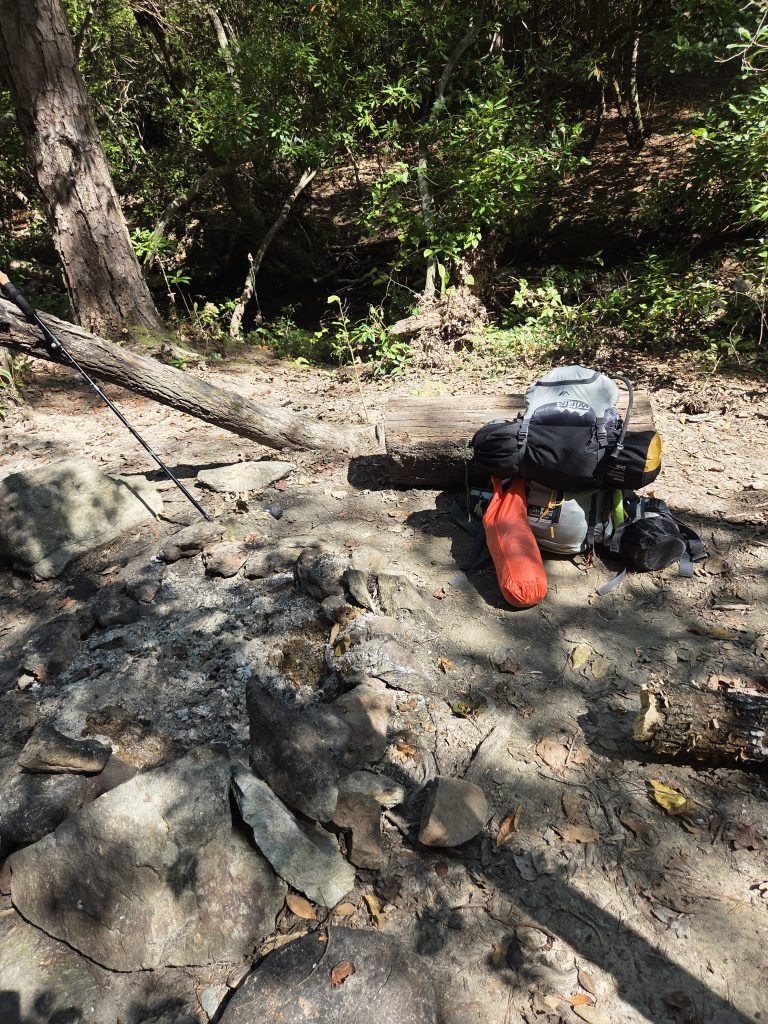
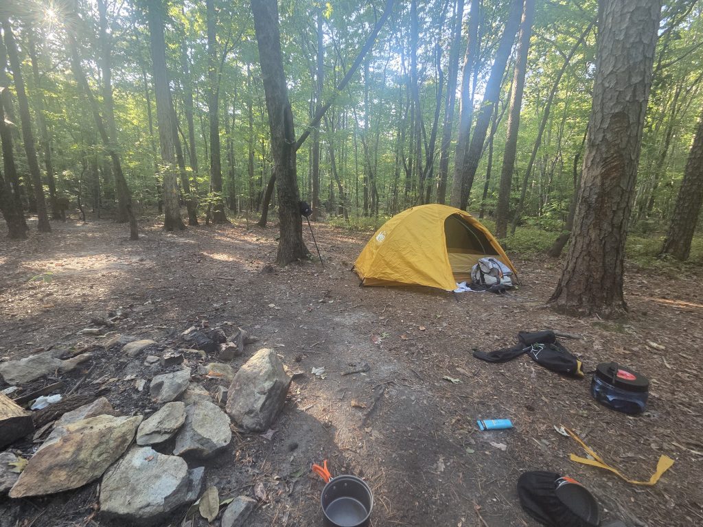
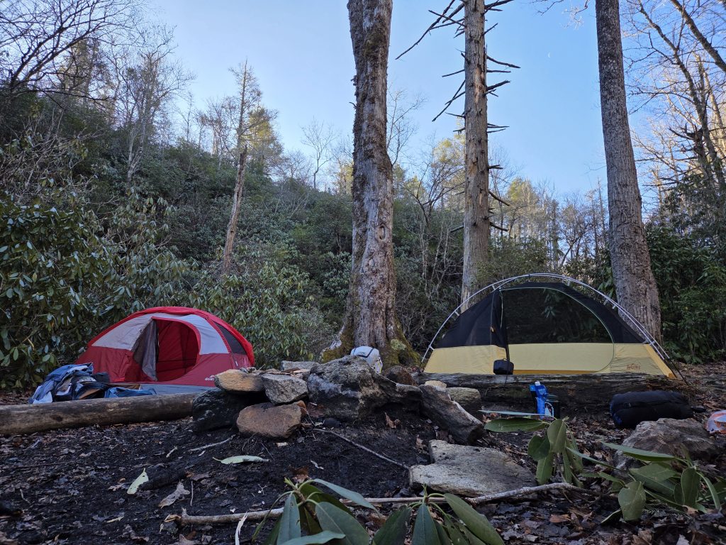
We returned and set up camp relatively late – around 5:30 PM, which is exactly when the sun had begun setting and the sky was turning purple-pink. This was the most I have ever spent out in the dark when camping, but I guess it’s a liberty of having a friend with you, a sort of added security.
I helped set up our tents and inflate bedding and such, and began getting water going for meals and hot chocolate. We attempted a fire, of which I got something going for a little bit with starter and some kindle, but we had no actual logs for fuel. Thus, we had to switch to my small frying pan to cook up our sausages.
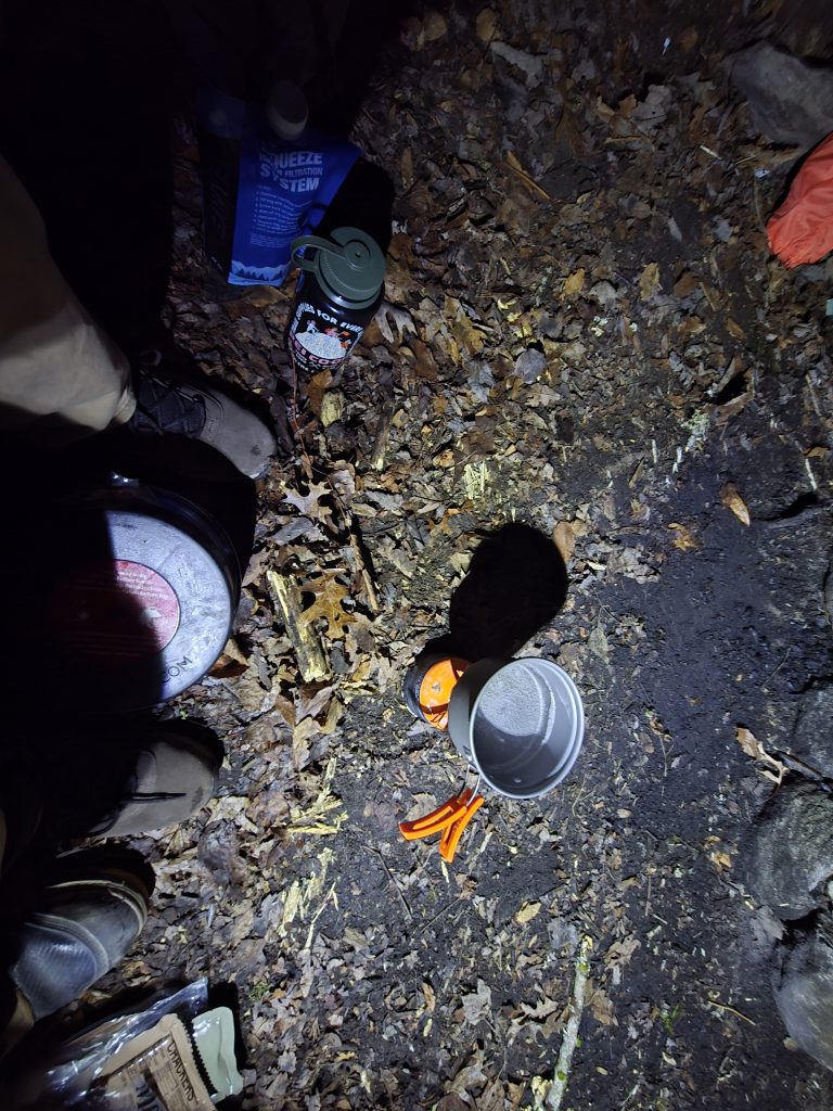
We sat out on the cold December night, enjoying cold MREs (they refused to heat up), warm sausages, and peppermint hot chocolate. After dinner, we began organizing our trash; Rylan practiced the backpacking standard of keeping your trash and foodstuffs stored a good ways away from your tent – and then we retreated to the multi-person tent I had lent Rylan.
The original intention is we used our own tents, but this campsite was covered in roots and mostly meant for hammocks – the best spot for my solo-tent was being used by the multi-tent, and in the interest of being warmer, we decided to share the larger of the two.
We got in there and began playing Mario Party DS. This was my first time ever playing this, and I was a little exhausted from the hike so at first I wasn’t too into it. But then, things began ramping up and I ended up having the luckiest Mario Party game of my life:

An absolute domination. If there was anyone camping in the woods near us that night and you heard someone scream “NO WARIO” or “NO THIS ISN’T FAIR,” it was not a crime, it was Mario Party.
We played some Mario Kart 7 and watched some stuff I had downloaded and finally turned in for the night. This time, I had brought sleep-aid with me. And while I did not have a lot of sleep or great sleep, I actually had a few hours – much better than my measly two or so I had camping solo in Uwharrie.
Around 7:30 AM, I woke up feeling very cold. It was about 30 degrees, but I knew if I didn’t get moving, I would stay in my new winter sleeping bag forever (which I will add a sidebar about later as I begin adding gear reviews!).

We got out of the tent and brushed our teeth in the creek – cold, but a refreshing change of pace.
We spent a little too long trying to stoke a fire, but everything was moist with morning dew. There was nothing catching at all, so we gave it up and I used my pocket stove to boil water for some breakfast.
The morning was pretty routine – we ate, cleaned up, got our things packed up, gave the site one more glance and was on our way back to the parking lot.
One more segment of about 35 minutes, and we were back at the car, the adventure over.
This was a great experience. I like backpacking, but having a best buddy with you makes it a million times better. A hobby in which I usually huddle inside my tent as soon as the sun is gone is somewhat more calm with a trusted presence. I never thought I would be so enamored playing Mario Party DS that the thought of being in the woods with no cell service and no lights that I lost all concept of what could be out there!
This loop isn’t insanely challenging but is incredibly rewarding. You get an amazing view to have lunch and a photo op at, ending with a beautiful rushing creek with picturesque falls to explore.
If you’re in the Pisgah, check this loop out. A definite 5/5 trail to hike or backpack!